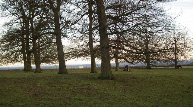
Grove of fine old trees by Acthorpe Top Farm
Introduction
The photograph on this page of Grove of fine old trees by Acthorpe Top Farm by Chris as part of the Geograph project.
The Geograph project started in 2005 with the aim of publishing, organising and preserving representative images for every square kilometre of Great Britain, Ireland and the Isle of Man.
There are currently over 7.5m images from over 14,400 individuals and you can help contribute to the project by visiting https://www.geograph.org.uk

Image: © Chris Taken: 8 Dec 2012
The path goes towards Acthorpe Top Farm and then to the A631. The public right of way extends only about half a mile, but the rest is a Permissive Footpath. This path is part of the one of the official "Around Louth" walks: see http://www.walkinginlincs.co.uk/louth.php This path has some wonderful views of Louth. The spire of St.James' Church is just visible through the branches on the right. However, centre stage in this shot is the seemingly indestructible disused concrete silo which vies with the church for pride of place as Louth's most dominant landmark.

