Park Lane
Introduction
The photograph on this page of Park Lane by Ian Capper as part of the Geograph project.
The Geograph project started in 2005 with the aim of publishing, organising and preserving representative images for every square kilometre of Great Britain, Ireland and the Isle of Man.

There are currently over 7.5m images from over 14,400 individuals and you can help contribute to the project by visiting https://www.geograph.org.uk
Park Lane
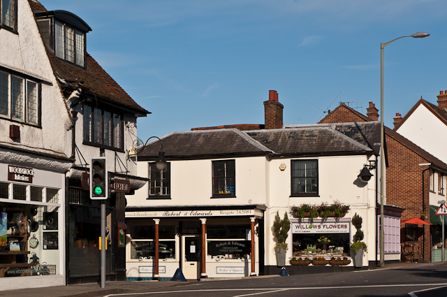
Image: © Ian Capper Taken: 7 May 2012
The top of Park Lane at its junction with High Street (in the foreground) at the Red Cross Inn. The shop in the centre of the photo has housed a butchers shop for many years, undergoing a number of name changes in the process. For closer view see Image
Images are licensed for reuse under creativecommons.org/licenses/by-sa/2.0
Image Location
Latitude
51.238017
Longitude
-0.210239