High View on Honiton Hill
Introduction
The photograph on this page of High View on Honiton Hill by David Smith as part of the Geograph project.
The Geograph project started in 2005 with the aim of publishing, organising and preserving representative images for every square kilometre of Great Britain, Ireland and the Isle of Man.

There are currently over 7.5m images from over 14,400 individuals and you can help contribute to the project by visiting https://www.geograph.org.uk
High View on Honiton Hill
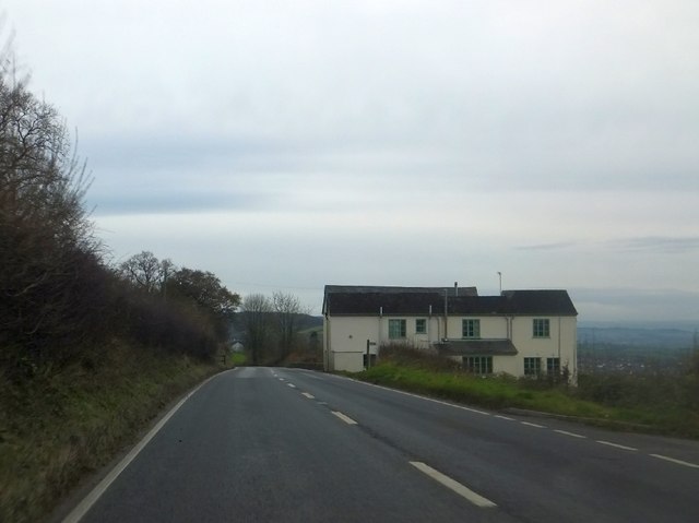
Image: © David Smith Taken: 6 Dec 2012
The A35 (Axminster Road) descends past this appropriately named house on the slope into Honiton and the Otter valley. On the right is the end of the access road to Hale Farm
Images are licensed for reuse under creativecommons.org/licenses/by-sa/2.0
Image Location
Latitude
50.797939
Longitude
-3.16788