The Village
Introduction
The photograph on this page of The Village by Simon Carey as part of the Geograph project.
The Geograph project started in 2005 with the aim of publishing, organising and preserving representative images for every square kilometre of Great Britain, Ireland and the Isle of Man.

There are currently over 7.5m images from over 14,400 individuals and you can help contribute to the project by visiting https://www.geograph.org.uk
The Village
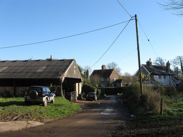
Image: © Simon Carey Taken: 2 Dec 2012
Name of the village street that runs through the small settlement of Berwick. The barn on the left belongs to Church Farm whilst the building to the right is Image and straight ahead are New Farm Cottages.
Images are licensed for reuse under creativecommons.org/licenses/by-sa/2.0
Image Location
Latitude
50.825444
Longitude
0.154492