Dolphin Street, Colyton
Introduction
The photograph on this page of Dolphin Street, Colyton by Derek Harper as part of the Geograph project.
The Geograph project started in 2005 with the aim of publishing, organising and preserving representative images for every square kilometre of Great Britain, Ireland and the Isle of Man.

There are currently over 7.5m images from over 14,400 individuals and you can help contribute to the project by visiting https://www.geograph.org.uk
Dolphin Street, Colyton
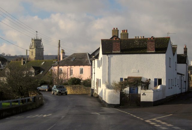
Image: © Derek Harper Taken: 5 Dec 2012
From Station Road, with Rosemary Lane on the right, and a view of the tower of St Andrews Church. The pink house is the listed Fermain House http://list.english-heritage.org.uk/resultsingle.aspx?uid=1170165&searchtype=mapsearch .
Images are licensed for reuse under creativecommons.org/licenses/by-sa/2.0
Image Location


Leaflet Map data © OpenStreetMap
Latitude
50.742425
Longitude
-3.06757