The Monnow valley and Grosmont
Introduction
The photograph on this page of The Monnow valley and Grosmont by Philip Halling as part of the Geograph project.
The Geograph project started in 2005 with the aim of publishing, organising and preserving representative images for every square kilometre of Great Britain, Ireland and the Isle of Man.

There are currently over 7.5m images from over 14,400 individuals and you can help contribute to the project by visiting https://www.geograph.org.uk
The Monnow valley and Grosmont
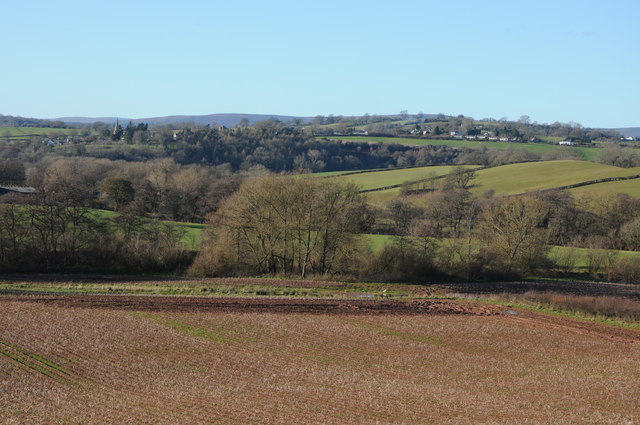
Image: © Philip Halling Taken: 8 Dec 2012
View across the Monnow valley and the England/Wales border to the village of Grosmont which is in Wales. The spire of the church can be seen to the left with the Black Mountain visible on the horizon.
Images are licensed for reuse under creativecommons.org/licenses/by-sa/2.0
Image Location
Latitude
51.916113
Longitude
-2.840457