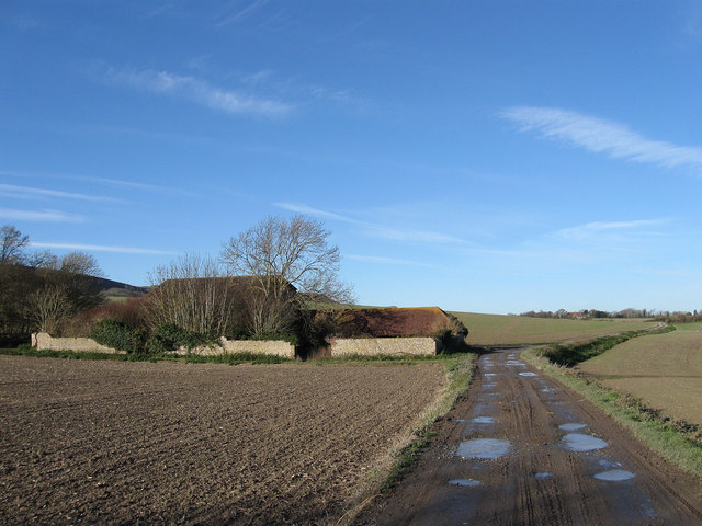
Old Coach Road
Introduction
The photograph on this page of Old Coach Road by Simon Carey as part of the Geograph project.
The Geograph project started in 2005 with the aim of publishing, organising and preserving representative images for every square kilometre of Great Britain, Ireland and the Isle of Man.
There are currently over 7.5m images from over 14,400 individuals and you can help contribute to the project by visiting https://www.geograph.org.uk

Image: © Simon Carey Taken: 2 Dec 2012
Looking westwards as it passes New Barn on the way to Alciston and Firle. Originally the old medieval road linking Lewes to Alfriston it was turnpiked in the mid 18th century as an east-west route to the newly developing resort of Eastbourne and ran eastwards down Comp Lane, through Winton then over the Cuckmere at Long Bridge before travelling over the Downs to Willingdon. This part of the route was closed in 1792 and a new turnpike made which took a longer and more laborious route via Bo Peep Lane, Common Lane, Chilver Bridge Road and a series of byways to Swines Hill (modern day Polegate) before heading south to Eastbourne. That route and the trust running it near enough went bankrupt and was replaced by another more direct road in 1820 which is still the route of the A27 today. When the latter was opened the Gage family, who sat on the board of trustees for the new road, closed the Old Coach Road to traffic to ensure travellers were unable to avoid paying tolls. Reduced to a restricted byway the highway became a mudbath in the wetter seasons until the section between Firle and Berwick was surfaced with gravel in 2004.

