Sporhams Lane
Introduction
The photograph on this page of Sporhams Lane by Robin Webster as part of the Geograph project.
The Geograph project started in 2005 with the aim of publishing, organising and preserving representative images for every square kilometre of Great Britain, Ireland and the Isle of Man.

There are currently over 7.5m images from over 14,400 individuals and you can help contribute to the project by visiting https://www.geograph.org.uk
Sporhams Lane
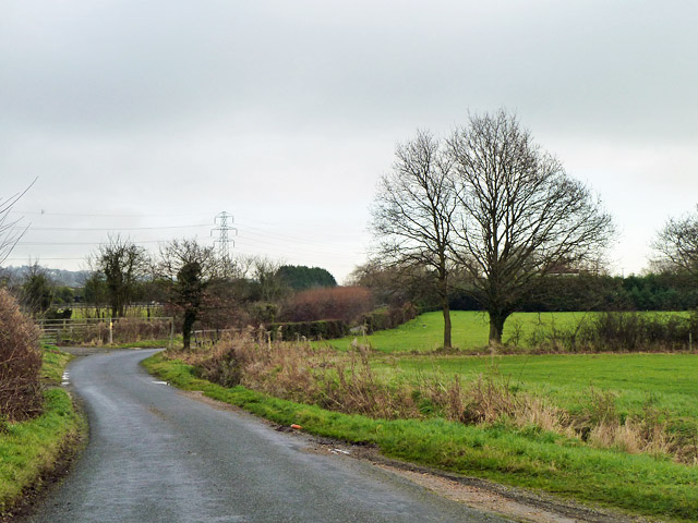
Image: © Robin Webster Taken: 8 Dec 2012
This lane is so plated, and serves Sporhams Farm, yet the OS map calls it Sporehams Lane.
Images are licensed for reuse under creativecommons.org/licenses/by-sa/2.0
Image Location
Latitude
51.705969
Longitude
0.545485