Peartree Terrace
Introduction
The photograph on this page of Peartree Terrace by Robert Graham as part of the Geograph project.
The Geograph project started in 2005 with the aim of publishing, organising and preserving representative images for every square kilometre of Great Britain, Ireland and the Isle of Man.

There are currently over 7.5m images from over 14,400 individuals and you can help contribute to the project by visiting https://www.geograph.org.uk
Peartree Terrace
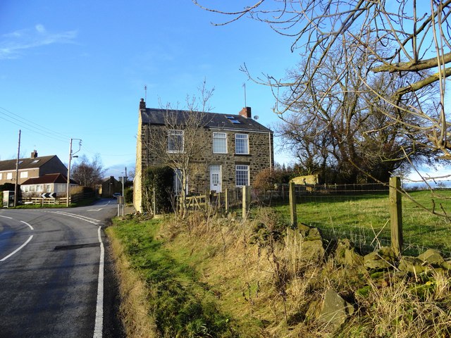
Image: © Robert Graham Taken: 28 Nov 2012
Tiny hamlet on Holmside lane a couple of kms east of Burnhope.
Images are licensed for reuse under creativecommons.org/licenses/by-sa/2.0
Image Location
Latitude
54.834413
Longitude
-1.679108