Hayne Lane and the valley of the Umborne
Introduction
The photograph on this page of Hayne Lane and the valley of the Umborne by David Smith as part of the Geograph project.
The Geograph project started in 2005 with the aim of publishing, organising and preserving representative images for every square kilometre of Great Britain, Ireland and the Isle of Man.

There are currently over 7.5m images from over 14,400 individuals and you can help contribute to the project by visiting https://www.geograph.org.uk
Hayne Lane and the valley of the Umborne
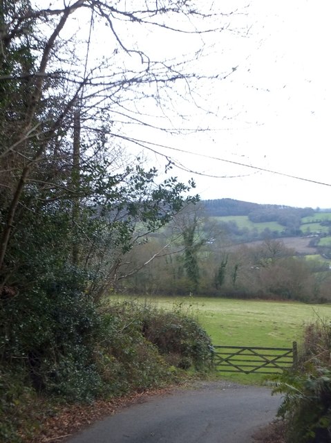
Image: © David Smith Taken: 6 Dec 2012
Hayne Lane drops through Jeremy's Wood on the west slope of Stockland Hill. Like many roads down the slope, this drops gently across the slope, before turning to approach the river/stream more directly. The gate leads to a field at the foot of the woodland.
Images are licensed for reuse under creativecommons.org/licenses/by-sa/2.0
Image Location
Latitude
50.803806
Longitude
-3.110408