Across the Coly valley
Introduction
The photograph on this page of Across the Coly valley by Derek Harper as part of the Geograph project.
The Geograph project started in 2005 with the aim of publishing, organising and preserving representative images for every square kilometre of Great Britain, Ireland and the Isle of Man.

There are currently over 7.5m images from over 14,400 individuals and you can help contribute to the project by visiting https://www.geograph.org.uk
Across the Coly valley
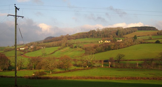
Image: © Derek Harper Taken: 5 Dec 2012
Taken from the same point as Image On the right up the hill is Hooperhayne, a farm with three listed buildings http://tinyurl.com/co2rnpc . To the left is Streathayne http://list.english-heritage.org.uk/resultsingle.aspx?uid=1098564&searchtype=mapsearch . Above is Carswell Moor.
Images are licensed for reuse under creativecommons.org/licenses/by-sa/2.0
Image Location


Leaflet Map data © OpenStreetMap
Latitude
50.746738
Longitude
-3.097009