River Dudwell to Etchingham
Introduction
The photograph on this page of River Dudwell to Etchingham by David Anstiss as part of the Geograph project.
The Geograph project started in 2005 with the aim of publishing, organising and preserving representative images for every square kilometre of Great Britain, Ireland and the Isle of Man.

There are currently over 7.5m images from over 14,400 individuals and you can help contribute to the project by visiting https://www.geograph.org.uk
River Dudwell to Etchingham
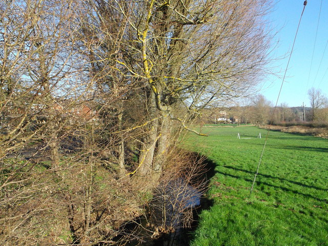
Image: © David Anstiss Taken: 2 Dec 2012
As seen from Image Through the trees on the left is Willow Lane. The green on the right of the stream is used as an open-access land.
Images are licensed for reuse under creativecommons.org/licenses/by-sa/2.0
Image Location
Latitude
51.006801
Longitude
0.436015