Bridge over stream near Brown's Oak Farm
Introduction
The photograph on this page of Bridge over stream near Brown's Oak Farm by Robin Webster as part of the Geograph project.
The Geograph project started in 2005 with the aim of publishing, organising and preserving representative images for every square kilometre of Great Britain, Ireland and the Isle of Man.

There are currently over 7.5m images from over 14,400 individuals and you can help contribute to the project by visiting https://www.geograph.org.uk
Bridge over stream near Brown's Oak Farm
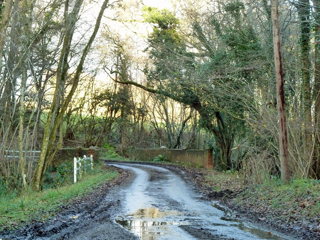
Image: © Robin Webster Taken: 7 Dec 2012
Both the lane and the stream have no mapped name, but the Environment Agency call the stream the 'Socknersh Stream'. The stream joins the Rother near Robertsbridge.
Images are licensed for reuse under creativecommons.org/licenses/by-sa/2.0
Image Location
Latitude
50.974888
Longitude
0.404856