Brynglas Terrace houses, Pyle
Introduction
The photograph on this page of Brynglas Terrace houses, Pyle by Jaggery as part of the Geograph project.
The Geograph project started in 2005 with the aim of publishing, organising and preserving representative images for every square kilometre of Great Britain, Ireland and the Isle of Man.

There are currently over 7.5m images from over 14,400 individuals and you can help contribute to the project by visiting https://www.geograph.org.uk
Brynglas Terrace houses, Pyle
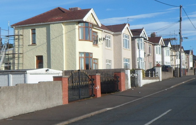
Image: © Jaggery Taken: 29 Nov 2012
Viewed from the Pandy Crescent end. There are houses on only this side of Brynglas Terrace. The opposite side is the edge of Pyle Rugby Football Club's ground.
Images are licensed for reuse under creativecommons.org/licenses/by-sa/2.0
Image Location
Latitude
51.526203
Longitude
-3.693557