Daisy Hill
Introduction
The photograph on this page of Daisy Hill by Robert Graham as part of the Geograph project.
The Geograph project started in 2005 with the aim of publishing, organising and preserving representative images for every square kilometre of Great Britain, Ireland and the Isle of Man.

There are currently over 7.5m images from over 14,400 individuals and you can help contribute to the project by visiting https://www.geograph.org.uk
Daisy Hill
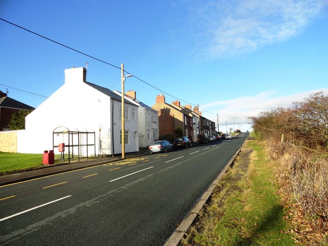
Image: © Robert Graham Taken: 28 Nov 2012
This is a small hamlet on Edmondsley Lane, between the villages of Edmondsley and Sacriston. These are all former mining villages.
Images are licensed for reuse under creativecommons.org/licenses/by-sa/2.0
Image Location
Latitude
54.832208
Longitude
-1.630555