Oldends Lane level crossing, Stonehouse
Introduction
The photograph on this page of Oldends Lane level crossing, Stonehouse by Jaggery as part of the Geograph project.
The Geograph project started in 2005 with the aim of publishing, organising and preserving representative images for every square kilometre of Great Britain, Ireland and the Isle of Man.

There are currently over 7.5m images from over 14,400 individuals and you can help contribute to the project by visiting https://www.geograph.org.uk
Oldends Lane level crossing, Stonehouse
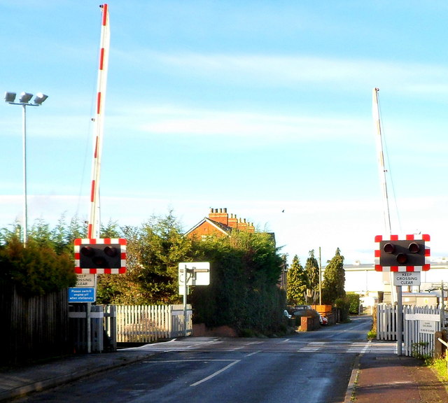
Image: © Jaggery Taken: 18 Dec 2011
The railway crossing the road is part of the route from Cam & Dursley station to Gloucester station. Trains on this route do not call at the nearby Stonehouse station which is on another route, the one from Swindon to Gloucester via Kemble and Stroud. These two routes meet about a kilometre north of this level crossing.
Images are licensed for reuse under creativecommons.org/licenses/by-sa/2.0
Image Location
Latitude
51.752243
Longitude
-2.290547