West Street Sompting
Introduction
The photograph on this page of West Street Sompting by Dave Spicer as part of the Geograph project.
The Geograph project started in 2005 with the aim of publishing, organising and preserving representative images for every square kilometre of Great Britain, Ireland and the Isle of Man.

There are currently over 7.5m images from over 14,400 individuals and you can help contribute to the project by visiting https://www.geograph.org.uk
West Street Sompting
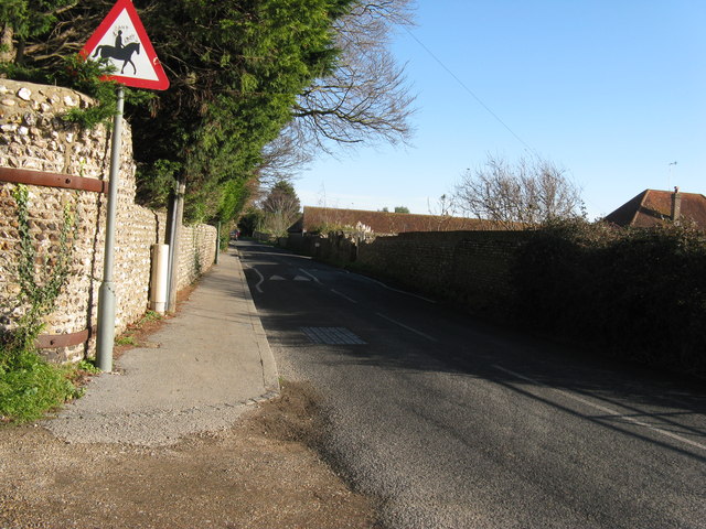
Image: © Dave Spicer Taken: 3 Dec 2012
Photo taken from the parish boundary line. Behind the camera the road becomes Upper Brighton Road Worthing.
Images are licensed for reuse under creativecommons.org/licenses/by-sa/2.0
Image Location
Latitude
50.834685
Longitude
-0.358199