Former Alexandria Parish Church
Introduction
The photograph on this page of Former Alexandria Parish Church by Lairich Rig as part of the Geograph project.
The Geograph project started in 2005 with the aim of publishing, organising and preserving representative images for every square kilometre of Great Britain, Ireland and the Isle of Man.

There are currently over 7.5m images from over 14,400 individuals and you can help contribute to the project by visiting https://www.geograph.org.uk
Former Alexandria Parish Church
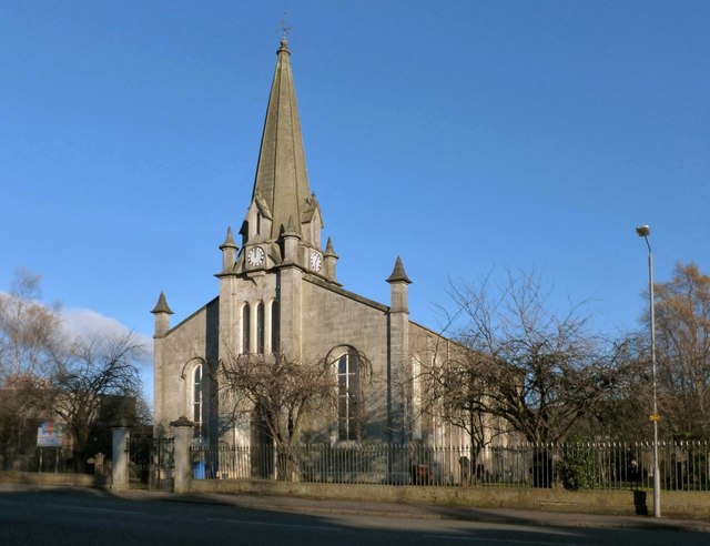
Image: © Lairich Rig Taken: 27 Nov 2012
This is a view from the other side of Main Street. The main gate is between two pillars. A war memorial used to stand in the kirkyard, just beyond and to the left of that gate, but it now stands beside the present-day Image: see Image
Images are licensed for reuse under creativecommons.org/licenses/by-sa/2.0
Image Location
Latitude
55.985377
Longitude
-4.58055