Bellsmyre High Flats
Introduction
The photograph on this page of Bellsmyre High Flats by Lairich Rig as part of the Geograph project.
The Geograph project started in 2005 with the aim of publishing, organising and preserving representative images for every square kilometre of Great Britain, Ireland and the Isle of Man.

There are currently over 7.5m images from over 14,400 individuals and you can help contribute to the project by visiting https://www.geograph.org.uk
Bellsmyre High Flats
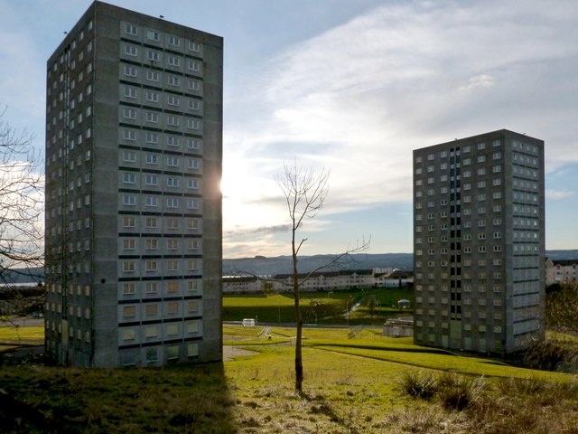
Image: © Lairich Rig Taken: 26 Nov 2012
The more northerly pair of high flats is shown here: Douglas House (left) and Kinglass House. The houses behind them, on the other side of Howatshaws Road, are on Merkins Avenue. Part of the River Clyde can also be seen in the background.
Images are licensed for reuse under creativecommons.org/licenses/by-sa/2.0
Image Location
Latitude
55.959731
Longitude
-4.551764