Fields at Portway Bridge
Introduction
The photograph on this page of Fields at Portway Bridge by Nigel Mykura as part of the Geograph project.
The Geograph project started in 2005 with the aim of publishing, organising and preserving representative images for every square kilometre of Great Britain, Ireland and the Isle of Man.

There are currently over 7.5m images from over 14,400 individuals and you can help contribute to the project by visiting https://www.geograph.org.uk
Fields at Portway Bridge
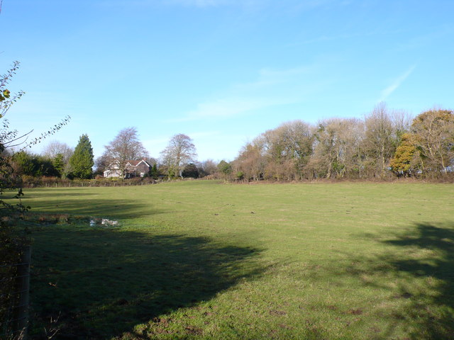
Image: © Nigel Mykura Taken: 18 Nov 2012
The bridge refers to an old bridge over the now dismantled railway that use to run through Binegar which was part of the Somerset and Dorset Joint Railway. Portway Lane, Turners Court Lane and Kings lane all meet at the bridge. Portway lane is just in front of the house in the middle of the image.
Images are licensed for reuse under creativecommons.org/licenses/by-sa/2.0
Image Location
Latitude
51.250334
Longitude
-2.543843