Grass path, Newtownards
Introduction
The photograph on this page of Grass path, Newtownards by Albert Bridge as part of the Geograph project.
The Geograph project started in 2005 with the aim of publishing, organising and preserving representative images for every square kilometre of Great Britain, Ireland and the Isle of Man.

There are currently over 7.5m images from over 14,400 individuals and you can help contribute to the project by visiting https://www.geograph.org.uk
Grass path, Newtownards
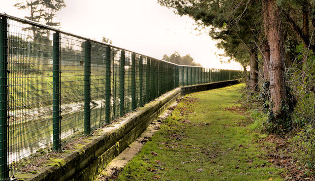
Image: © Albert Bridge Taken: 5 Dec 2012
A grass (and slightly soft) path between the canal Image (left) and Londonderry Park, near The Floodgates.
Images are licensed for reuse under creativecommons.org/licenses/by-sa/2.0
Image Location
Latitude
54.58496
Longitude
-5.679616