Chapel Hill
Introduction
The photograph on this page of Chapel Hill by Stanley Walker as part of the Geograph project.
The Geograph project started in 2005 with the aim of publishing, organising and preserving representative images for every square kilometre of Great Britain, Ireland and the Isle of Man.

There are currently over 7.5m images from over 14,400 individuals and you can help contribute to the project by visiting https://www.geograph.org.uk
Chapel Hill
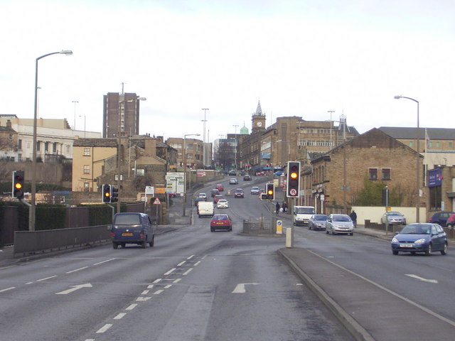
Image: © Stanley Walker Taken: 29 Jan 2007
Chapel Hill from Folly Hall with the Town Centre at the top of the hill,it was called Chapel Hill for obvious reasons but the chapel was pulled down 50 years ago
Images are licensed for reuse under creativecommons.org/licenses/by-sa/2.0
Image Location
Latitude
53.642567
Longitude
-1.783964