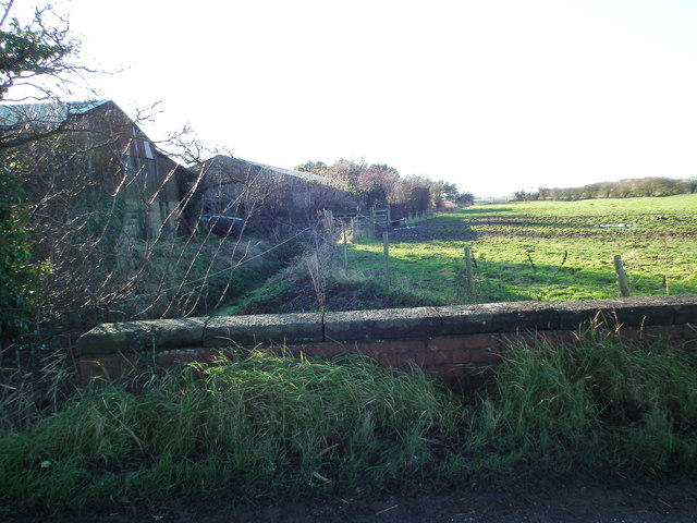
Ludney: ghost of the River Lud
Introduction
The photograph on this page of Ludney: ghost of the River Lud by Chris as part of the Geograph project.
The Geograph project started in 2005 with the aim of publishing, organising and preserving representative images for every square kilometre of Great Britain, Ireland and the Isle of Man.
There are currently over 7.5m images from over 14,400 individuals and you can help contribute to the project by visiting https://www.geograph.org.uk

Image: © Chris Taken: 5 Dec 2012
Ludney is named after the River Lud, or Ludd, which used to run through it. Alas there is no sign of the Lud on current maps. The Lud was sacrificed to the Louth Navigation (canal, now disused), which took most of its water for the stretch Louth-Tetney Lock. The Lud was allowed a brief revival, shown in Image, Image and Image Here it tumbles triumphantly back into its channel, and wends its wiggly way alongside the canal as far as Alvingham. At High Bridge, Alvingham it seems to divide into two branches, named Seven Towns North Eau and the Old Eau. The Lud is no more! Ludney is a muddle of different drains, and branches of drains, of which this is one. One way or another, they all seem to end up in the Seven Towns North Eau, a straightened section of which runs under the road a few hundred metres further on by Appleby's carpark (Image). So we can only deduce that the Seven Towns North Eau is the reincarnation of the River Lud, its flow boosted by a hundred drains.

