Lane from Dunkirk to Little Badminton
Introduction
The photograph on this page of Lane from Dunkirk to Little Badminton by Phil Williams as part of the Geograph project.
The Geograph project started in 2005 with the aim of publishing, organising and preserving representative images for every square kilometre of Great Britain, Ireland and the Isle of Man.

There are currently over 7.5m images from over 14,400 individuals and you can help contribute to the project by visiting https://www.geograph.org.uk
Lane from Dunkirk to Little Badminton
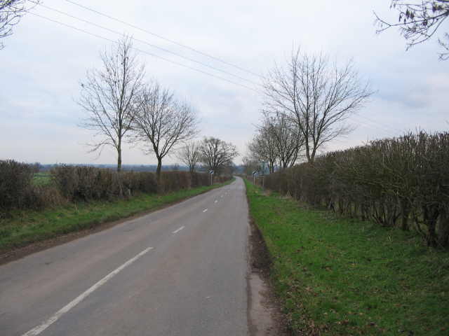
Image: © Phil Williams Taken: 30 Jan 2007
A view looking to the southeast along the lane from Dunkirk to Little Badminton. The entrance drive to Swangrove House is on the left past the slight bend in the lane at centre of the image.
Images are licensed for reuse under creativecommons.org/licenses/by-sa/2.0
Image Location


Leaflet Map data © OpenStreetMap
Latitude
51.571395
Longitude
-2.303821