Methodist chapel Topcliffe
Introduction
The photograph on this page of Methodist chapel Topcliffe by Gordon Hatton as part of the Geograph project.
The Geograph project started in 2005 with the aim of publishing, organising and preserving representative images for every square kilometre of Great Britain, Ireland and the Isle of Man.

There are currently over 7.5m images from over 14,400 individuals and you can help contribute to the project by visiting https://www.geograph.org.uk
Methodist chapel Topcliffe
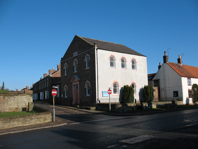
Image: © Gordon Hatton Taken: 30 Jan 2007
The Methodist chapel dates from 1840. Update 2023. After years of declining attendances, the chapel eventually closed [circa 2020] and has since been converted into a private house.
Images are licensed for reuse under creativecommons.org/licenses/by-sa/2.0
Image Location
Latitude
54.177874
Longitude
-1.388977