Princetown Avenue and Somerset Avenue, Bangor
Introduction
The photograph on this page of Princetown Avenue and Somerset Avenue, Bangor by Albert Bridge as part of the Geograph project.
The Geograph project started in 2005 with the aim of publishing, organising and preserving representative images for every square kilometre of Great Britain, Ireland and the Isle of Man.

There are currently over 7.5m images from over 14,400 individuals and you can help contribute to the project by visiting https://www.geograph.org.uk
Princetown Avenue and Somerset Avenue, Bangor
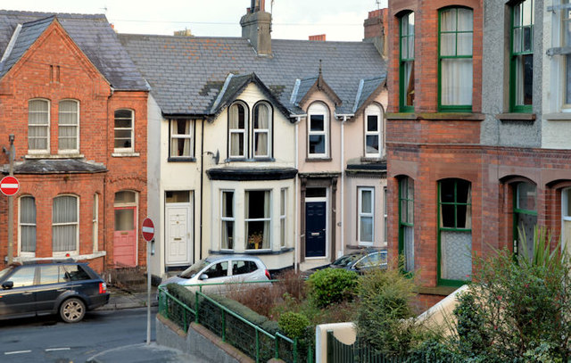
Image: © Albert Bridge Taken: 4 Dec 2012
Two streets off the beaten track and spared from through traffic. Princetown Avenue Image (June 2008) is in the foreground. Part of Somerset Avenue Image (June 2010) is in the background. The latter dates from 1880. Both are well secluded between Gray’s Hill and the Princetown Road. The Google map shows Princetown Avenue as “Church Lane”.
Images are licensed for reuse under creativecommons.org/licenses/by-sa/2.0
Image Location
Latitude
54.662213
Longitude
-5.673817