Newport Pagnell, near Red House
Introduction
The photograph on this page of Newport Pagnell, near Red House by Peter Wood as part of the Geograph project.
The Geograph project started in 2005 with the aim of publishing, organising and preserving representative images for every square kilometre of Great Britain, Ireland and the Isle of Man.

There are currently over 7.5m images from over 14,400 individuals and you can help contribute to the project by visiting https://www.geograph.org.uk
Newport Pagnell, near Red House
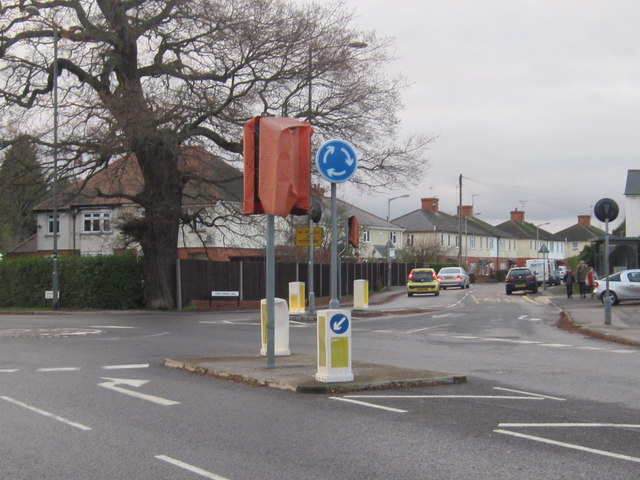
Image: © Peter Wood Taken: 27 Nov 2012
Looking west to the junctions of Wolverton Road and Little Linford Lane.
Images are licensed for reuse under creativecommons.org/licenses/by-sa/2.0
Image Location
Latitude
52.082368
Longitude
-0.741409