Sluice gate
Introduction
The photograph on this page of Sluice gate by Judith Green as part of the Geograph project.
The Geograph project started in 2005 with the aim of publishing, organising and preserving representative images for every square kilometre of Great Britain, Ireland and the Isle of Man.

There are currently over 7.5m images from over 14,400 individuals and you can help contribute to the project by visiting https://www.geograph.org.uk
Sluice gate
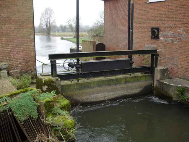
Image: © Judith Green Taken: 30 Jan 2007
Plenty of watercourses through Downton. The village made good industrial use of its water in times past.
Images are licensed for reuse under creativecommons.org/licenses/by-sa/2.0
Image Location


Leaflet Map data © OpenStreetMap
Latitude
50.992543
Longitude
-1.751455