The road to Llwyn-y-groes, Ceredigion
Introduction
The photograph on this page of The road to Llwyn-y-groes, Ceredigion by Roger D Kidd as part of the Geograph project.
The Geograph project started in 2005 with the aim of publishing, organising and preserving representative images for every square kilometre of Great Britain, Ireland and the Isle of Man.

There are currently over 7.5m images from over 14,400 individuals and you can help contribute to the project by visiting https://www.geograph.org.uk
The road to Llwyn-y-groes, Ceredigion
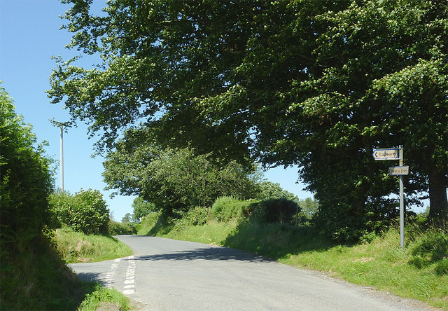
Image: © Roger D Kidd Taken: 22 Jul 2012
The lane has left the A485 at Glan Denys, and is the direct route from Lampeter to Llwyn-y-groes and Llangeitho. Tal-sarn is off to the left.
Images are licensed for reuse under creativecommons.org/licenses/by-sa/2.0
Image Location
Latitude
52.152409
Longitude
-4.074806