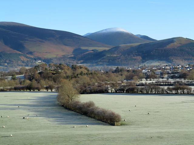
Field north of Little Braithwaite
Introduction
The photograph on this page of Field north of Little Braithwaite by Trevor Littlewood as part of the Geograph project.
The Geograph project started in 2005 with the aim of publishing, organising and preserving representative images for every square kilometre of Great Britain, Ireland and the Isle of Man.
There are currently over 7.5m images from over 14,400 individuals and you can help contribute to the project by visiting https://www.geograph.org.uk

Image: © Trevor Littlewood Taken: 2 Dec 2012
The field, curiously, has a hedge which ends in the middle of it. The gate at the end of the hedging suggests there's a lane there but OS maps at larger scales do not show one. Lonscale Fell is at the left side of the image and Latrigg at the right, whilst the snowed dome in the centre is the western end of Blencathra.

