Footpath parallel to Old Cemetery Road
Introduction
The photograph on this page of Footpath parallel to Old Cemetery Road by Jonathan Thacker as part of the Geograph project.
The Geograph project started in 2005 with the aim of publishing, organising and preserving representative images for every square kilometre of Great Britain, Ireland and the Isle of Man.

There are currently over 7.5m images from over 14,400 individuals and you can help contribute to the project by visiting https://www.geograph.org.uk
Footpath parallel to Old Cemetery Road
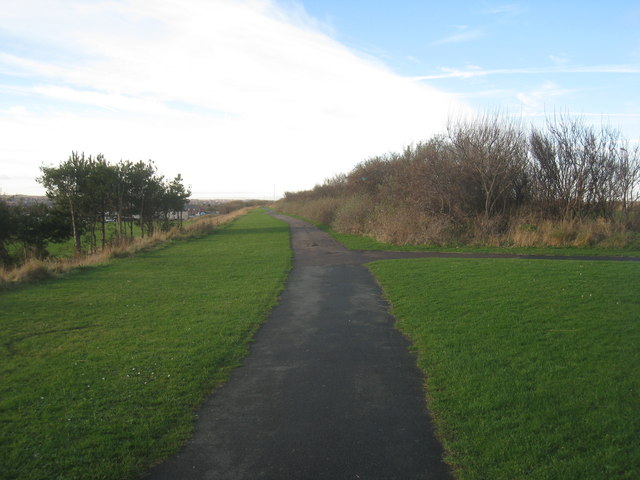
Image: © Jonathan Thacker Taken: 29 Nov 2012
Follows the line of the former Hartlepool Dock and railway line opened in 1835 and finally closed in 1969.
Images are licensed for reuse under creativecommons.org/licenses/by-sa/2.0
Image Location
Latitude
54.704342
Longitude
-1.203249