A row of houses, Cardiff Road, Barry
Introduction
The photograph on this page of A row of houses, Cardiff Road, Barry by Jaggery as part of the Geograph project.
The Geograph project started in 2005 with the aim of publishing, organising and preserving representative images for every square kilometre of Great Britain, Ireland and the Isle of Man.

There are currently over 7.5m images from over 14,400 individuals and you can help contribute to the project by visiting https://www.geograph.org.uk
A row of houses, Cardiff Road, Barry
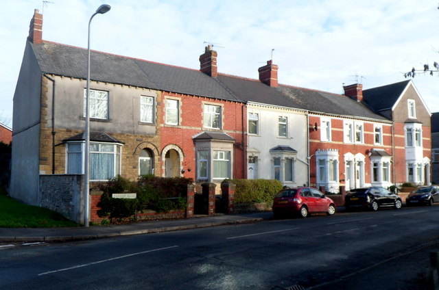
Image: © Jaggery Taken: 2 Dec 2012
The corner of Arthur Street is at the right edge of the view. As there were no district boundary signs hereabouts, it was unclear to me where the Barry district of Cadoxton ended and the Barry district of Palmerston began.
Images are licensed for reuse under creativecommons.org/licenses/by-sa/2.0
Image Location
Latitude
51.412403
Longitude
-3.245591