Langaller Road
Introduction
The photograph on this page of Langaller Road by Alan Hunt as part of the Geograph project.
The Geograph project started in 2005 with the aim of publishing, organising and preserving representative images for every square kilometre of Great Britain, Ireland and the Isle of Man.

There are currently over 7.5m images from over 14,400 individuals and you can help contribute to the project by visiting https://www.geograph.org.uk
Langaller Road
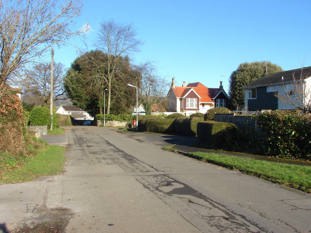
Image: © Alan Hunt Taken: 1 Dec 2012
The country lane running from Liverto near its junction with Wallfield Road in Lower Brimley.
Images are licensed for reuse under creativecommons.org/licenses/by-sa/2.0
Image Location
Latitude
50.58242
Longitude
-3.685314