Danbury Common - Heathland
Introduction
The photograph on this page of Danbury Common - Heathland by Malcolm Reid as part of the Geograph project.
The Geograph project started in 2005 with the aim of publishing, organising and preserving representative images for every square kilometre of Great Britain, Ireland and the Isle of Man.

There are currently over 7.5m images from over 14,400 individuals and you can help contribute to the project by visiting https://www.geograph.org.uk
Danbury Common - Heathland
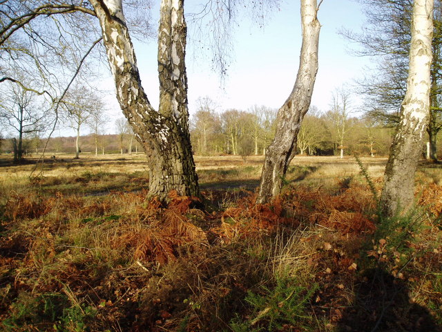
Image: © Malcolm Reid Taken: 31 Dec 2003
For centuries Danbury Common was used for grazing cattle, goats and sheep, particularly in those areas where the ground is a poor quality gravel, ill suited to agriculture. This resulted in the generation of open heathland covered by small shrubs and heathers. The National Trust now maintains large areas of the Common as heath, encouraging the natural flora and the invertebrates which are attracted to the sunny open landscape. Heathland is rare in this part of Britain.
Images are licensed for reuse under creativecommons.org/licenses/by-sa/2.0
Image Location
Latitude
51.709639
Longitude
0.579275