The Mor Brook
Introduction
The photograph on this page of The Mor Brook by Richard Law as part of the Geograph project.
The Geograph project started in 2005 with the aim of publishing, organising and preserving representative images for every square kilometre of Great Britain, Ireland and the Isle of Man.

There are currently over 7.5m images from over 14,400 individuals and you can help contribute to the project by visiting https://www.geograph.org.uk
The Mor Brook
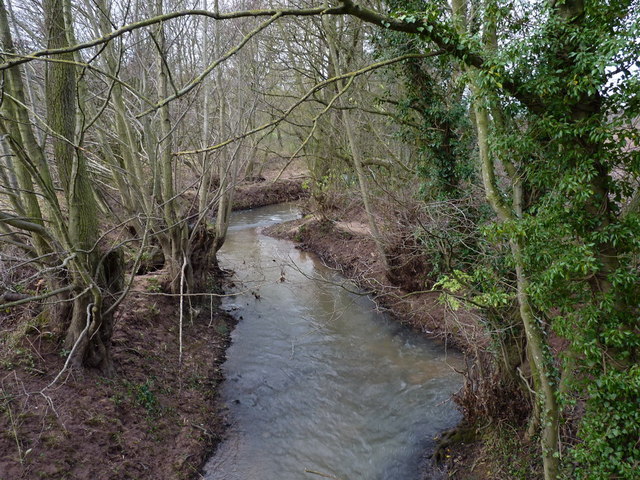
Image: © Richard Law Taken: 2 Dec 2012
Upstream view of the Mor Brook near Bridgwalton Farm. Recent rains (it is December, after all) mean that it's running quite high and slightly coloured.
Images are licensed for reuse under creativecommons.org/licenses/by-sa/2.0
Image Location
Latitude
52.528014
Longitude
-2.465599