Barns at Bridgwalton Farm
Introduction
The photograph on this page of Barns at Bridgwalton Farm by Richard Law as part of the Geograph project.
The Geograph project started in 2005 with the aim of publishing, organising and preserving representative images for every square kilometre of Great Britain, Ireland and the Isle of Man.

There are currently over 7.5m images from over 14,400 individuals and you can help contribute to the project by visiting https://www.geograph.org.uk
Barns at Bridgwalton Farm
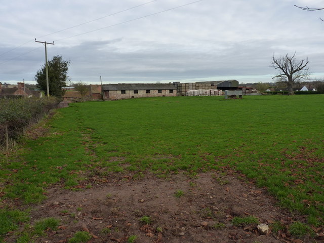
Image: © Richard Law Taken: 2 Dec 2012
Outbuildings and barns at the farm. I walked a couple of hundred yards up the road looking for the old milestone that's marked on the maps, but sadly it seems to have gone AWOL - probably a victim of road widening or quarry workings.
Images are licensed for reuse under creativecommons.org/licenses/by-sa/2.0
Image Location
Latitude
52.531264
Longitude
-2.462096