Last mobile home plot, Buckles Lane
Introduction
The photograph on this page of Last mobile home plot, Buckles Lane by David Anstiss as part of the Geograph project.
The Geograph project started in 2005 with the aim of publishing, organising and preserving representative images for every square kilometre of Great Britain, Ireland and the Isle of Man.

There are currently over 7.5m images from over 14,400 individuals and you can help contribute to the project by visiting https://www.geograph.org.uk
Last mobile home plot, Buckles Lane
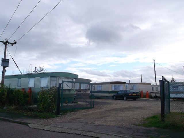
Image: © David Anstiss Taken: 25 Nov 2012
This is the last plot of mobile homes/caravans along the lane.
Images are licensed for reuse under creativecommons.org/licenses/by-sa/2.0
Image Location


Leaflet Map data © OpenStreetMap
Latitude
51.508963
Longitude
0.309084