House near Lustleigh
Introduction
The photograph on this page of House near Lustleigh by Derek Harper as part of the Geograph project.
The Geograph project started in 2005 with the aim of publishing, organising and preserving representative images for every square kilometre of Great Britain, Ireland and the Isle of Man.

There are currently over 7.5m images from over 14,400 individuals and you can help contribute to the project by visiting https://www.geograph.org.uk
House near Lustleigh
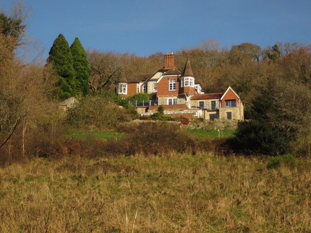
Image: © Derek Harper Taken: 29 Nov 2012
Combe Orchard, seen here from Lustleigh Footpath 1, has a distinctive turret. http://www.robertseymour.co.uk/combe-orchard-dartmoor.html claims it is listed but I can find no other evidence for this.
Images are licensed for reuse under creativecommons.org/licenses/by-sa/2.0
Image Location
Latitude
50.623102
Longitude
-3.726212