
Course of railway line
Introduction
The photograph on this page of Course of railway line by David Luther Thomas as part of the Geograph project.
The Geograph project started in 2005 with the aim of publishing, organising and preserving representative images for every square kilometre of Great Britain, Ireland and the Isle of Man.

There are currently over 7.5m images from over 14,400 individuals and you can help contribute to the project by visiting https://www.geograph.org.uk
Course of railway line
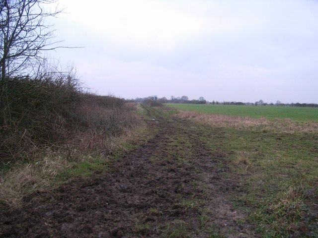
Image: © David Luther Thomas Taken: 29 Jan 2007
The remains of the (Oxford to) Fairford branch line. Looking in the direction of Fairford (next station Langford) from near to a bridge carrying a farm track and footpath over it. This 22 mile line ran through a sparsely populated area of Oxfordshire and relied on transporting milk to London for most of its revenue. It saw much traffic during the second World War, serving three R.A.F. airfields: Fairford, Brize Norton & Broadwell. This part of the line was closed in 1962.
Images are licensed for reuse under creativecommons.org/licenses/by-sa/2.0
Image Location

Latitude
51.726882
Longitude
-1.613385