Tapton Hall Farm
Introduction
The photograph on this page of Tapton Hall Farm by Jonathan Clitheroe as part of the Geograph project.
The Geograph project started in 2005 with the aim of publishing, organising and preserving representative images for every square kilometre of Great Britain, Ireland and the Isle of Man.

There are currently over 7.5m images from over 14,400 individuals and you can help contribute to the project by visiting https://www.geograph.org.uk
Tapton Hall Farm
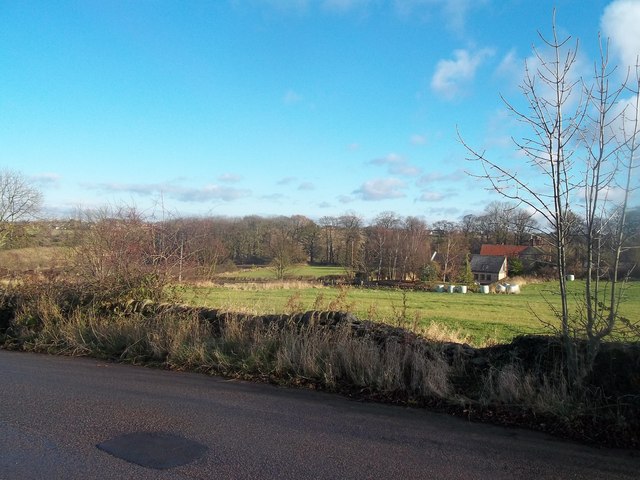
Image: © Jonathan Clitheroe Taken: 1 Dec 2012
Fields and woodland surrounding the farm seen here from Pettyclose Lane.
Images are licensed for reuse under creativecommons.org/licenses/by-sa/2.0
Image Location
Latitude
53.247595
Longitude
-1.40755