Hele Road, Torquay
Introduction
The photograph on this page of Hele Road, Torquay by Derek Harper as part of the Geograph project.
The Geograph project started in 2005 with the aim of publishing, organising and preserving representative images for every square kilometre of Great Britain, Ireland and the Isle of Man.

There are currently over 7.5m images from over 14,400 individuals and you can help contribute to the project by visiting https://www.geograph.org.uk
Hele Road, Torquay
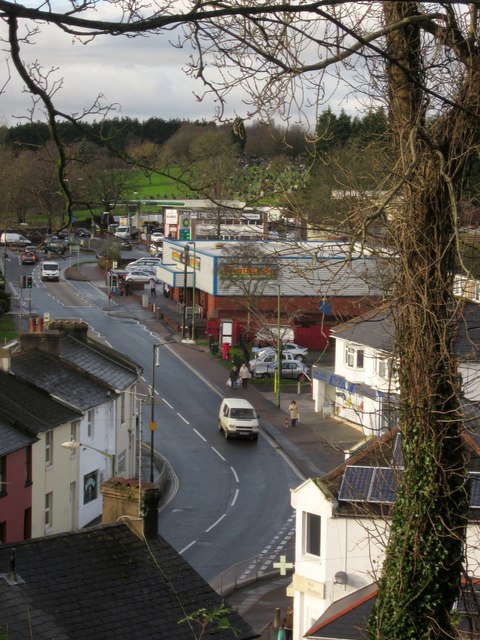
Image: © Derek Harper Taken: 26 Nov 2012
The B3199 between the junction with Salisbury Avenue (below) and the roundabout at Barton Road. Beyond the Farm Foods supermarket and the BP station is the newer part of Torquay cemetery.
Images are licensed for reuse under creativecommons.org/licenses/by-sa/2.0
Image Location
Latitude
50.484488
Longitude
-3.541992