Leat at Brimhill
Introduction
The photograph on this page of Leat at Brimhill by Derek Harper as part of the Geograph project.
The Geograph project started in 2005 with the aim of publishing, organising and preserving representative images for every square kilometre of Great Britain, Ireland and the Isle of Man.

There are currently over 7.5m images from over 14,400 individuals and you can help contribute to the project by visiting https://www.geograph.org.uk
Leat at Brimhill
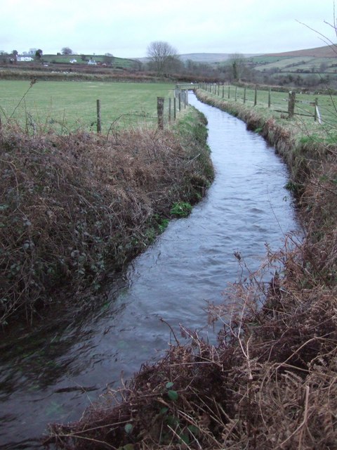
Image: © Derek Harper Taken: 28 Jan 2007
The leat, approaching the camera a few yards before entering a small reservoir, begins at Hill Bridge (see Image). The water drove Mary Tavy's hydro-electric power station.
Images are licensed for reuse under creativecommons.org/licenses/by-sa/2.0
Image Location
Latitude
50.597488
Longitude
-4.097611