Seaham from West Farm
Introduction
The photograph on this page of Seaham from West Farm by Richard Cooke as part of the Geograph project.
The Geograph project started in 2005 with the aim of publishing, organising and preserving representative images for every square kilometre of Great Britain, Ireland and the Isle of Man.

There are currently over 7.5m images from over 14,400 individuals and you can help contribute to the project by visiting https://www.geograph.org.uk
Seaham from West Farm
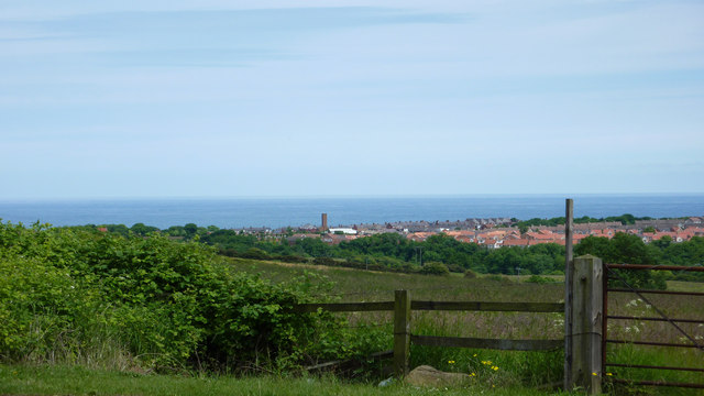
Image: © Richard Cooke Taken: 15 Jun 2010
Seaham fire station tower poking above the houses. The North Sea is in the background
Images are licensed for reuse under creativecommons.org/licenses/by-sa/2.0
Image Location
Latitude
54.831961
Longitude
-1.339291