Old meets new on the St Clement's Hospital drive
Introduction
The photograph on this page of Old meets new on the St Clement's Hospital drive by Robert Lamb as part of the Geograph project.
The Geograph project started in 2005 with the aim of publishing, organising and preserving representative images for every square kilometre of Great Britain, Ireland and the Isle of Man.

There are currently over 7.5m images from over 14,400 individuals and you can help contribute to the project by visiting https://www.geograph.org.uk
Old meets new on the St Clement's Hospital drive
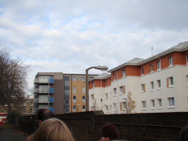
Image: © Robert Lamb Taken: 1 Dec 2012
We have the old hospital wall (maintained by English Heritage) and the concrete lamp post (albeit with a modern lantern installed) versus the new, contemporary flats on British Street. Which do you think will stand the test of time? If you're wondering how I got access into the site (the site has been closed to the public since 2005), I have two friends from university who are working on a project to convert the hospital site into a Community Land Trust, passed by Boris Johnson last year. Read more about it here: http://www.jtp.co.uk/community-planning-projects/st-clements/
Images are licensed for reuse under creativecommons.org/licenses/by-sa/2.0
Image Location
Latitude
51.525559
Longitude
-0.02872