View of modern flats on British Street from the St Clement's Hospital site #2
Introduction
The photograph on this page of View of modern flats on British Street from the St Clement's Hospital site #2 by Robert Lamb as part of the Geograph project.
The Geograph project started in 2005 with the aim of publishing, organising and preserving representative images for every square kilometre of Great Britain, Ireland and the Isle of Man.

There are currently over 7.5m images from over 14,400 individuals and you can help contribute to the project by visiting https://www.geograph.org.uk
View of modern flats on British Street from the St Clement's Hospital site #2
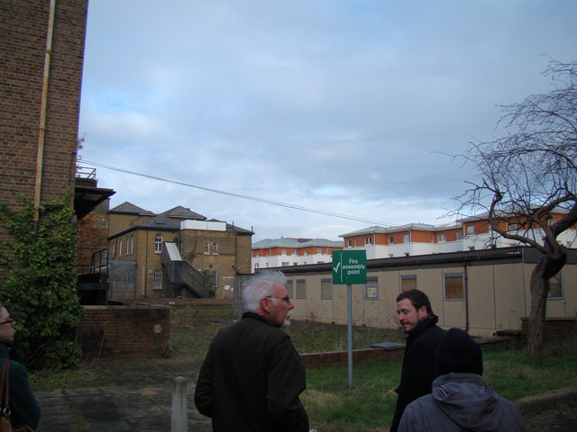
Image: © Robert Lamb Taken: 1 Dec 2012
Looking north-northeast. The flats certainly do add a significant contrast to the run down, morbid nature of the hospital buildings. If you're wondering how I got access into the site (the site has been closed to the public since 2005), I have two friends from university who are working on a project to convert the hospital site into a Community Land Trust, passed by Boris Johnson last year. Read more about it here: http://www.jtp.co.uk/community-planning-projects/st-clements/
Images are licensed for reuse under creativecommons.org/licenses/by-sa/2.0
Image Location
Latitude
51.525013
Longitude
-0.028311