The Parish of Pyle and Kenfig parish hall, Pyle
Introduction
The photograph on this page of The Parish of Pyle and Kenfig parish hall, Pyle by Jaggery as part of the Geograph project.
The Geograph project started in 2005 with the aim of publishing, organising and preserving representative images for every square kilometre of Great Britain, Ireland and the Isle of Man.

There are currently over 7.5m images from over 14,400 individuals and you can help contribute to the project by visiting https://www.geograph.org.uk
The Parish of Pyle and Kenfig parish hall, Pyle
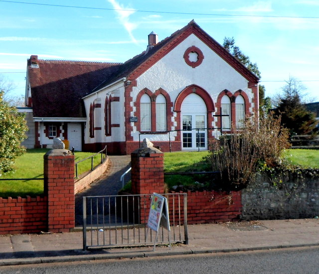
Image: © Jaggery Taken: 29 Nov 2012
Set back from the east side of Pyle Road, next door to the vicarage. The Church in Wales Parish Church of St James http://www.geograph.org.uk/photo/3244151 is also alongside Pyle Road, 400 metres to the north.
Images are licensed for reuse under creativecommons.org/licenses/by-sa/2.0
Image Location
Latitude
51.5273
Longitude
-3.692301