Beresford Road, Newport
Introduction
The photograph on this page of Beresford Road, Newport by Jaggery as part of the Geograph project.
The Geograph project started in 2005 with the aim of publishing, organising and preserving representative images for every square kilometre of Great Britain, Ireland and the Isle of Man.

There are currently over 7.5m images from over 14,400 individuals and you can help contribute to the project by visiting https://www.geograph.org.uk
Beresford Road, Newport
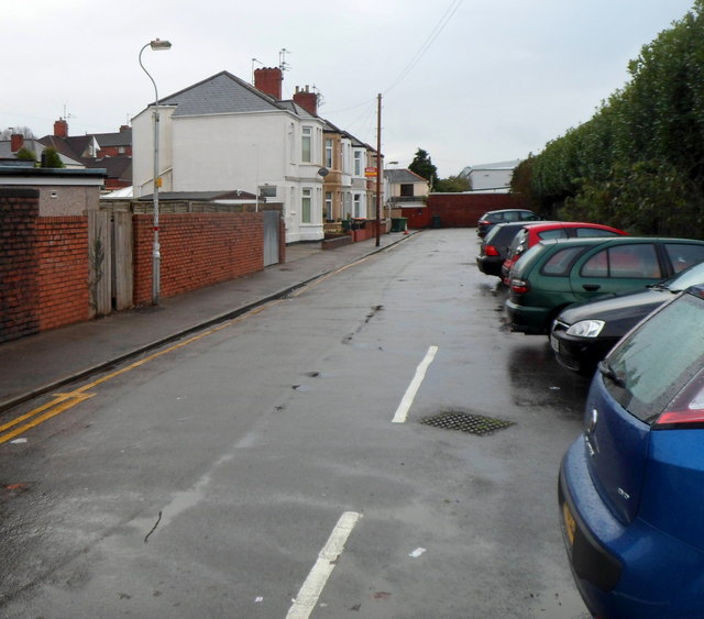
Image: © Jaggery Taken: 25 Nov 2012
Viewed from Grafton Road. Beresford Road is a cul-de-sac with one row of 6 houses. There are no houses on the opposite side of the road, where a hedge is at the perimeter of Newport Athletic Club Grounds and Rodney Parade rugby ground.
Images are licensed for reuse under creativecommons.org/licenses/by-sa/2.0
Image Location
Latitude
51.589467
Longitude
-2.989299