Farmland by the Afon Aeron at Tal-sarn, Ceredigion
Introduction
The photograph on this page of Farmland by the Afon Aeron at Tal-sarn, Ceredigion by Roger D Kidd as part of the Geograph project.
The Geograph project started in 2005 with the aim of publishing, organising and preserving representative images for every square kilometre of Great Britain, Ireland and the Isle of Man.

There are currently over 7.5m images from over 14,400 individuals and you can help contribute to the project by visiting https://www.geograph.org.uk
Farmland by the Afon Aeron at Tal-sarn, Ceredigion
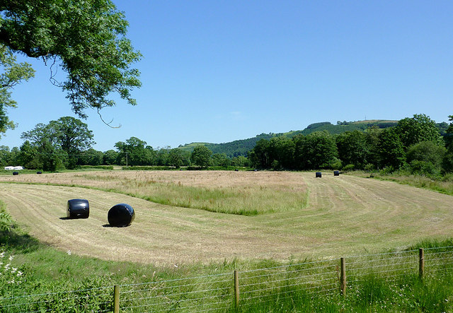
Image: © Roger D Kidd Taken: 22 Jul 2012
A wide angle view from the B4337 near the bridge. The river is off to right at the edge of the field.
Images are licensed for reuse under creativecommons.org/licenses/by-sa/2.0
Image Location
Latitude
52.184603
Longitude
-4.128164