Thanet Coastal Path, Joss Bay
Introduction
The photograph on this page of Thanet Coastal Path, Joss Bay by Robin Webster as part of the Geograph project.
The Geograph project started in 2005 with the aim of publishing, organising and preserving representative images for every square kilometre of Great Britain, Ireland and the Isle of Man.

There are currently over 7.5m images from over 14,400 individuals and you can help contribute to the project by visiting https://www.geograph.org.uk
Thanet Coastal Path, Joss Bay
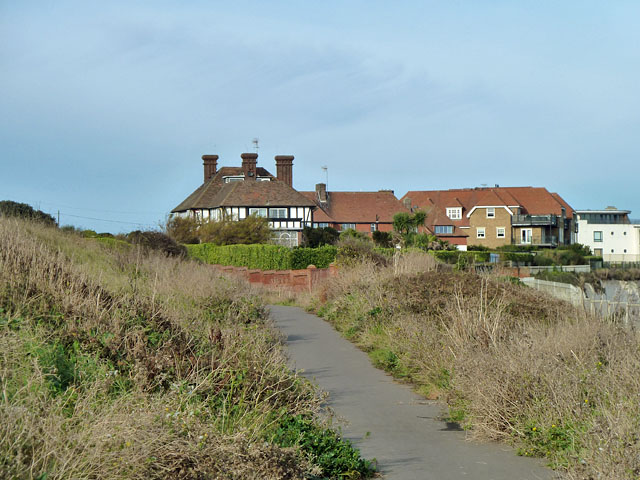
Image: © Robin Webster Taken: 23 Nov 2011
The house ahead is Redcourt on Joss Gap Road, which is parallel with the path, hidden by vegetation on the right.
Images are licensed for reuse under creativecommons.org/licenses/by-sa/2.0
Image Location
Latitude
51.380711
Longitude
1.44439