View east across the Victoria Recreation Ground
Introduction
The photograph on this page of View east across the Victoria Recreation Ground by Dave Spicer as part of the Geograph project.
The Geograph project started in 2005 with the aim of publishing, organising and preserving representative images for every square kilometre of Great Britain, Ireland and the Isle of Man.

There are currently over 7.5m images from over 14,400 individuals and you can help contribute to the project by visiting https://www.geograph.org.uk
View east across the Victoria Recreation Ground
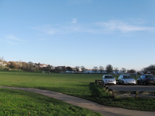
Image: © Dave Spicer Taken: 29 Nov 2012
Situated between Victoria Road to the right and the A270 above the bank on the left, which was the A27 before the bypass was built.
Images are licensed for reuse under creativecommons.org/licenses/by-sa/2.0
Image Location
Latitude
50.837429
Longitude
-0.214373